Earthquake Alert Map
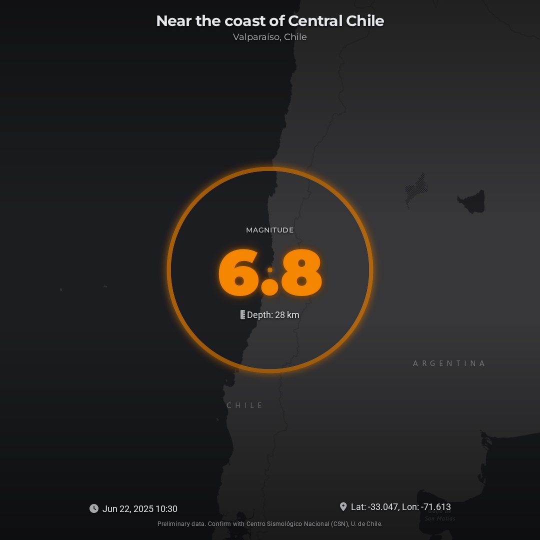
Render one per earthquake from your alert feed, with magnitude, location, depth and a map centred on it.
Image, 1080 × 1080, 1 credit
Output
Variables
earthquake.depthtext28 kmearthquake.latitudenumber-33.0472earthquake.locationNametextNear the coast of Central Chileearthquake.longitudenumber-71.6127earthquake.magnitudenumber6.8earthquake.regiontextValparaíso, Chileearthquake.timetext2025-06-22T10:30:15ZmapConfig.attributiontextmapConfig.tileLayerUrltexthttps://services.arcgisonline.com/ArcGIS/rest/services/Canvas/World_Dark_Gray_Base/MapServer/tile/{z}/{y}/{x}mapConfig.zoomnumber6theme.backgroundColortext#1F2937theme.primaryColortext#FF8C00theme.textColortext#E5E7EBuiTexts.footerNoticetextPreliminary data. Confirm with Centro Sismológico Nacional (CSN), U. de Chile.
Send any of these in modify. Anything you leave out prints the sample value, and the response lists it in warnings.
Render it
Save the template to your account first. Saving gives you its ID.
curl --request POST \
  --url https://api.ojo.so/v1/image/template \
  --header 'Authorization: Bearer <your API key>' \
  --header 'Content-Type: application/json' \
  --data '{
  "templateId": "<YOUR_TEMPLATE_ID>",
  "modify": {
    "earthquake": {
      "locationName": "Near the coast of Central Chile",
      "region": "Valparaíso, Chile",
      "magnitude": 6.8,
      "depth": "28 km"
    }
  },
  "viewportWidth": 1080,
  "viewportHeight": 1080
}'
What's included
- Real-time Data Display
- Interactive Map with Epicenter
- Magnitude-based Visuals
- Dynamic Ripple Effect
- Customizable Theme
- Responsive Design
- Detailed Information